See the storm before it sees you
Storm chasing tools,
built by chasers.
Built by storm chasers. Engineered for those who demand more. From high-resolution NEXRAD imagery to advanced severe weather analysis and interactive hurricane tracking, our apps bring professional-grade meteorological tools to your fingertips. Built for the experts. Designed for everyone.
Storm chasing apps for the whole season
Spring tornadoes, summer hail, fall hurricanes. Pick the tool that fits the threat.

RAVIN
High-resolution NEXRAD radar with dual-pol, warnings, lightning and storm-tracking tools.
Mac
RAVIN Mobile
Live NEXRAD and TDWR radar drawn on your phone, with warnings, dual-pol and two-panel views.
iPhone · iPad · Android
StormThreat
SPC tornado, hail and wind outlooks, watches, discussions and storm reports on one map.
iPhone · iPad · Android
HurriMap
Hurricane tracking with models, recon and wind arrival times for planning an intercept.
iPhone · iPad · AndroidStorm chasing since 1998
Storm chasing, from the forecast to the footage
StormChase.com has been part of storm chasing since 1998. Today we build the tools we use on our own chases, and every one of them runs on official National Weather Service data.
Before the chase
Every storm chase starts with the forecast. StormThreat shows the Storm Prediction Center's tornado, hail and wind outlooks, watches and mesoscale discussions, so you can pick a target area at a glance.
On the chase
Once storms fire, radar is everything. RAVIN shows live NEXRAD reflectivity, velocity and dual-pol data on your Mac, iPhone or Android, with rotation tracks and warnings to help you stay safe while chasing.
Hurricane season
Storm chasing doesn't stop when tornado season ends. HurriMap tracks every tropical storm and hurricane with National Hurricane Center forecasts, models, recon and wind arrival times.
Radar for Mac
RAVIN
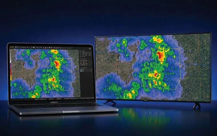
Native NEXRAD Level III radar analysis for storm chasers, spotters and operational meteorologists. RAVIN is fast and Metal-rendered, with the products you actually use mid-chase.
- Super-res radar. Reflectivity and velocity plus dual-pol CC, ZDR, KDP and hydrometeor classification across the low tilts.
- Rotation and hail. NROT, debris signatures, VIL, echo tops, and hail, TVS and mesocyclone markers with storm tracks.
- StormPath. Draw a storm's path and RAVIN projects the threat corridor from radar-measured motion, listing towns ahead with arrival times.
- Warnings and lightning. Warning polygons that follow the animation loop, SPC outlooks and lightning data.
- Chase-ready. GPS tracking, GeoFiles, and pen and draw annotation.

Radar for iPhone, iPad and Android
RAVIN Mobile
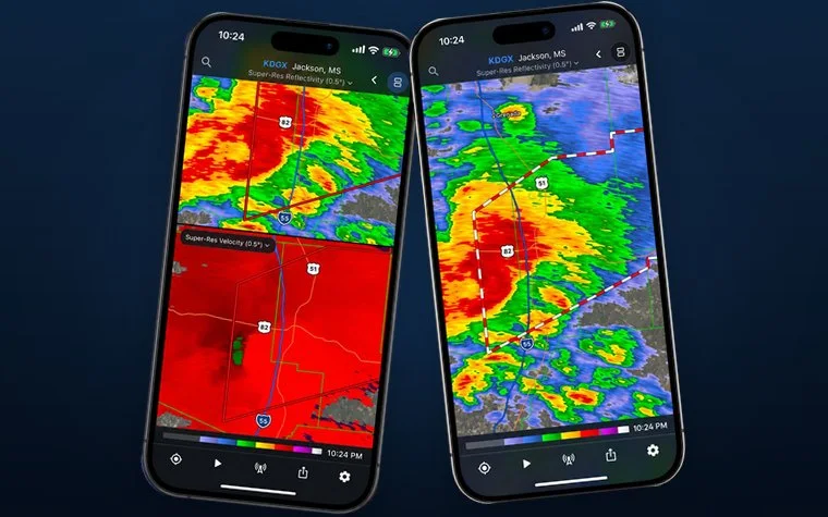
Professional radar, in your pocket. RAVIN Mobile brings the radar analysis of RAVIN for Mac to your phone and tablet: live NEXRAD and TDWR data, drawn by RAVIN itself, with the warnings and tools you need when weather turns.
- Every radar. Live Level III data from every NEXRAD and TDWR site, with reflectivity, velocity, dual-pol, derived and rainfall products.
- Smooth or raw. RAVIN draws the radar data itself, so it stays sharp at every zoom. Smooth it, or see it exactly as the radar saw it.
- Tools built for touch. Beam height, measuring, drawing and a value inspector, plus GeoFiles and lightning.
Free to download. Pro and Pro Plus subscriptions add every tilt, longer loops and lightning.
Severe weather risk
StormThreat
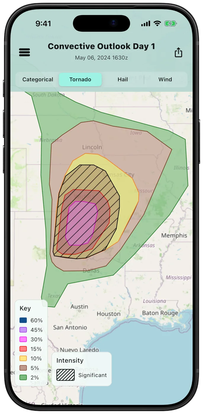
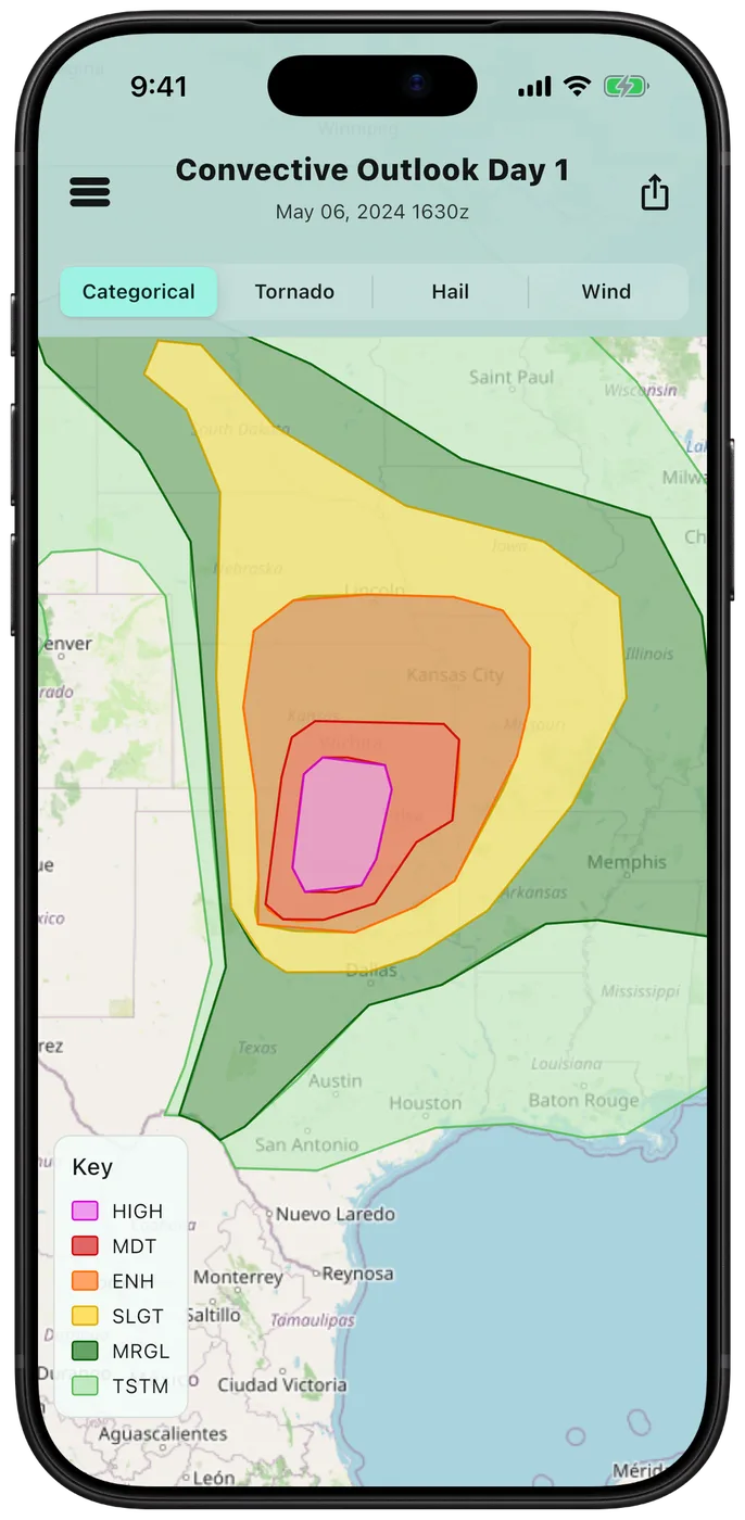
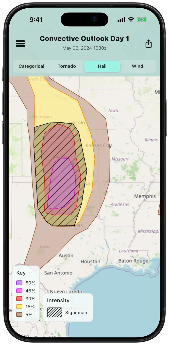
Tornado, hail and wind outlooks, watches, mesoscale discussions and storm reports on one clean mobile map. Open the app, pick a threat type, and see where the risk is focused.
- SPC outlooks. Categorical risk plus tornado, hail and wind probabilities, with significant-severe hatching.
- Watches and discussions. Active tornado and severe thunderstorm watches and mesoscale discussions on the same map.
- Storm reports. Tornado, hail and wind reports, so you can see where severe weather is already happening.
- Archive. Look back at past days, like the May 6, 2024 HIGH risk shown here.


Hurricane tracking
HurriMap
Work a landfalling hurricane from one map: NHC forecasts, models, recon and wind arrival times, built for your phone. Free to start.
- Know when the window closes. When 39, 58 and 74 mph winds could reach the coast.
- Models and recon. Spaghetti tracks and live Hurricane Hunter data. (Pro)


Storm chasing videos on YouTube
StormChaseHQ
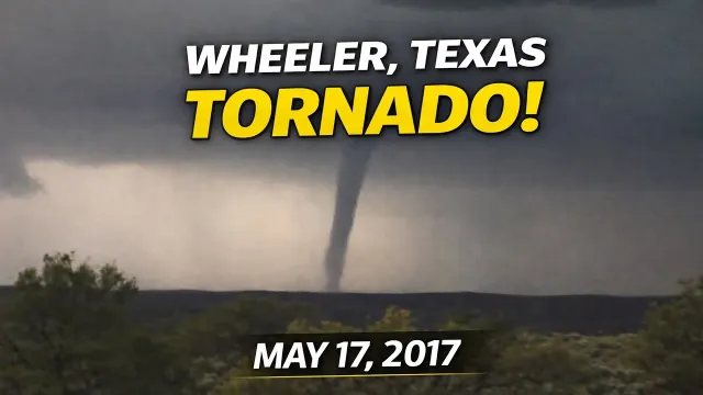
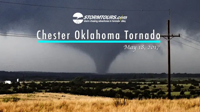
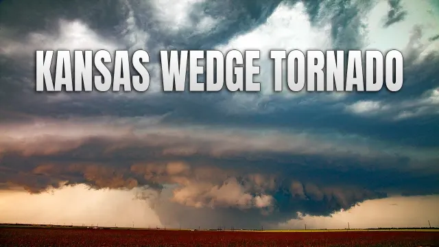
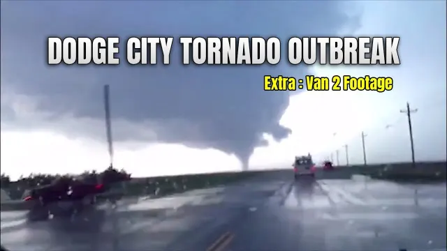
Real storm chasing footage: tornado intercepts, supercells and hurricanes, filmed in the field across the Great Plains and beyond. 150+ videos and counting.